
BREAKING NEWS
BREAKING NEWS

It is the only ship owner business magazine in the industry dedicated to covering the entire information needs of the owner and the manager and is essential reading for this vibrant and data-hungry industry sector, across a series of media platforms – print, online, digital and social media. Explore our featured daily news below.
FEATURED DAILY NEWS


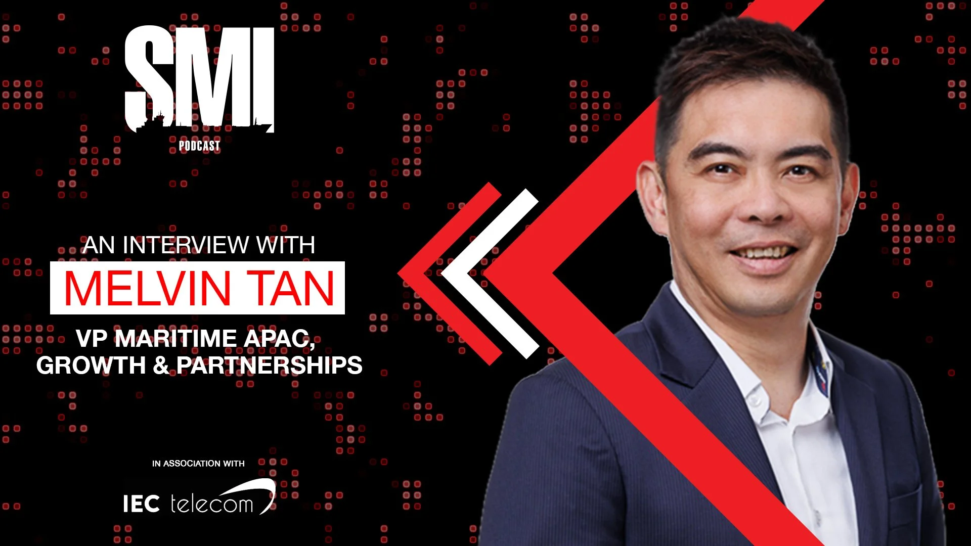
Articles from Ship Management International magazine


MEDIA PACK 2026

Ship Management International’s 2026 Media Pack is OUT NOW. We have loads of exciting new features booked for 2026, from Advertising opportunities, to Editorial features. Host a roundtable debate, Webinar or Podcast.
Get in touch with our Sales Team for more information:
sales@elaboratecomms.com


The reach of Ship Management International is truly international as it is read throughout the world’s major shipowning and ship management centres.
To navigate through the latest issue below, use the arrows positioned left and right or the scroll bar below. You can also take a look at all of our previous issues.
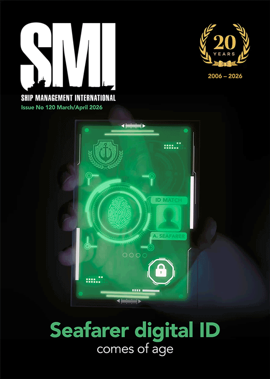
READ OUR LATEST ISSUE

![MEF-300x250-MPU[23].gif](https://images.squarespace-cdn.com/content/v1/677d25916da11d07add7c910/5c1bcf29-4379-4870-9767-d2d332fa8928/MEF-300x250-MPU%5B23%5D.gif)


ADVERTISE WITH US
The reach of Ship Management International is truly international as it is read throughout the world’s major shipowning and ship management centres. Please view all our advertising options.

![Leading The Way Web Banner 250x200px_[81].jpg](https://images.squarespace-cdn.com/content/v1/677d25916da11d07add7c910/9aa42dbb-b25d-4eaa-a41f-2caa9ba2f662/Leading+The+Way+Web+Banner+250x200px_%5B81%5D.jpg)


DOWNLOAD OUR SMI APP
How better to read your regular issue of ShipManagement International than on your phone or tablet. We have introduced the latest App technology to make your reading time the exciting interactive experience it should be. Available to download on all Apple and Android devices, now you can access Ship Management International on the move.

SUBSCRIBE TO SMI DIGITAL
Be the first to know all the latest news in shipping